Alaska-Canada Adventure Ride
Day 6 - Stewart, British Columbia to Watson Lake, Yukon (412 miles)
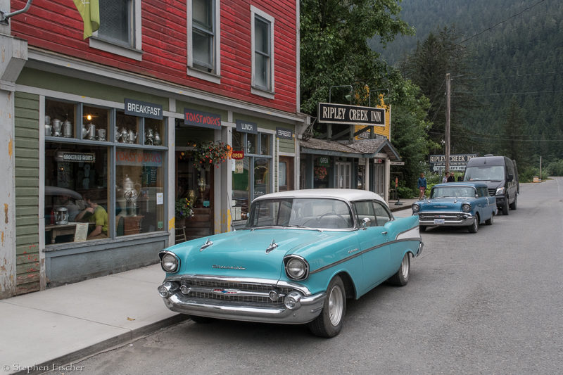
 After breaking camp and stopping in
Stewart for one of the renowned cinnamon rolls and coffee at the Temptations
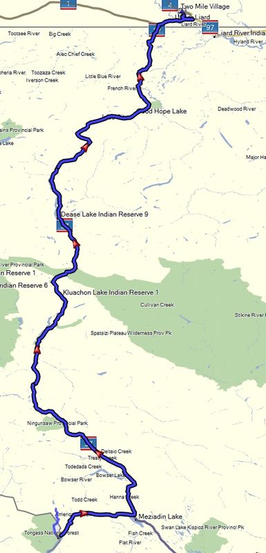
Bakery one of the locals mentioned, we were on our way further north up the Cassiar/Stewart Highway (37). At this point the weather had also started to change from a cold and wet climate to a warm and hazy one. Apparently a large number of lightening induced fires further north were starting to become quite prevalent. I first noticed this the previous day, but thought it was just a local phenomena. As we continued north, these atmospheric conditions continued to worsen for the next week of riding.
After breaking camp and stopping in
Stewart for one of the renowned cinnamon rolls and coffee at the Temptations
Bakery one of the locals mentioned, we were on our way further north up the Cassiar/Stewart Highway (37). At this point the weather had also started to change from a cold and wet climate to a warm and hazy one. Apparently a large number of lightening induced fires further north were starting to become quite prevalent. I first noticed this the previous day, but thought it was just a local phenomena. As we continued north, these atmospheric conditions continued to worsen for the next week of riding.
The Cassiar highway is in reasonably good shape, enabling fairly high speed riding, with the biggest hazard being black bears and other wildlife crossing the road. But other than a stop at the Jade City rock shop for a lunch break (after picking up supplies earlier at Dease Lake to make our own) and a complimentary coffee, there is not much else to see in this boreal forest of spruce trees that seems to go on forever. In the original planning we had a tentative plan to camp at Dease Lake. But getting there still early in the day and not seeing a lot of scenery that would justify lingering in the area, we decided to keep moving after filling up the bikes.
With long stretches of road like today, the benefit of the bigger R1200GS over my F800GSA are more evident. My bike tends to feel maxed out at speeds over 80 mph, while the R1200GS can comfortably cruise at a higher speed and with more comfort. The trade-off was that my F800GSA probably did better on some of the more technical sections of the dirt roads given my bike's weight was about 50 lbs lighter. Vicki's 1200GS Rallye seemed like a good balance, having a smaller profile versus the larger Adventure models, but she repeatedly had range anxiety issues due to her smaller gas tank. Meanwhile, Randy's V-strom 650 did not have any problems at the pace we were riding, with probably the biggest issue being its suspension is relatively weak, more noticeable in the technical terrain.
Reaching Watson Lake at the junction with the Al-Can Highway (1), we did an obligatory stop at the Signpost Forest. A strange oddity of street signs from all over the world have found their way here, spread out over a couple of acres of land. Watson Lake is the biggest town for probably about a 300 miles in any direction and is not charming like Stewart, but it is a good location to resupply, take care of any issues with the bike, do laundry or the like.
After getting a few supplies and a stop at the local laundromat, some of us ended up camping a couple miles north of town by the lake, with Jon and Vicki getting a motel instead. This arrangement tended to be more of the norm for the rest of the trip with Tucker, Randy, and myself camping. Typically we would rendezvous the next morning after beaking camp, communicating via a text if possible, or one group or the other riding into town/camp to look for the other by around 8 AM. On some days we ended up going our separate ways due to a divergence between camping and motel availability.
Images (click to select the larger view at bottom)


All content and images are property of Stephen Fischer Photography, copyright 2019 - 2020. Last updated: 1/10/2020