Alaska-Canada Adventure Ride
Day 10 - Eagle Plains, Yukon to Inuvik, Northwest Territories (227 miles)
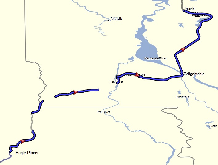 The morning weather to the north was looking a bit threatening, but it was still dry. After a quick breakfast we decided to not dilly-dally around and get going before it potentially turned worse. Along the most of the way we seemed to be just on the cusp of a storm, but other than some showers, it never got that bad. But it was enough to remind you to keep up your pace and don't let the weather get ahead of you. I could see in a few lengthy 10 ~ 20 mile sections heavily rutted due to mud just after the Arctic Circle, but the main track was sufficiently flat and dry to enable a smooth passage. On a few occasions I also decided to play it safe and just pull over and stop for oncoming haul trucks in these more tracked areas, rather than try to ride too close into the shoulder.
On this days ride as we crossed the border between the Yukon and Northwest territories, my GPS started to act up, turning off on its own, and not coming back on. Randy and Tucker mentioned their GPSs were also acting up. One thought is that it is just dirt in the contacts of the cradle, as some of the road was washboardy with some dust. But it seems odd other riders were also having issues around the same area. As a result, my GPS track for this days capture is not complete.
After a ferry crossing at the Peel River we then stopped at Fort McPherson to eat lunch, finding some picnic tables by a general store and historic Gwich'in cemetery next to a more contemporary Christian church. While there I ended up chatting with a local First Nation Gwich'in coming out of his relatively primitive house. We made some small talk, telling him I was from California. He seemed surprised by that and said he also knows somebody from the village that went to California, implying if I might know him? I said it's a big state and probably not. I asked him if the permafrost was a problem for the buried bodies at the cemetery. My/his language understanding here seemed challenged, but from what I could gather is the graves are fairly shallow because of this. Like Ross River, Fort McPherson is a local native village with historical ties for being the principal trading post for the Hudson's Bay Trading Company, so the town is rather primitive by western standards and with limited facilities.
After another ferry crossing of the MacKenzie River and navigating some tricky road repairs, we reached the town of Inuvik. This is the largest town by far since leaving Dawson City, being more modern with a population dominated by the local Inuit and anglos. As recommended by a couple of women at Eagle Plains we chatted with the previous day from Yellow Knife, we found a relatively nice and convenient campground (Happy Valley Territorial Park) on the edge of town near the Mackenzie River, with wooden platforms in which to pitch your tent on. This made it easier to setup without getting muddy. There was a good restaurant (Alestine's) popular with the local anglos a walk away from the campground for burgers and beer, offering a nice break from the Mountain House freeze dried camp food I have been normally eating for dinners on this trip.
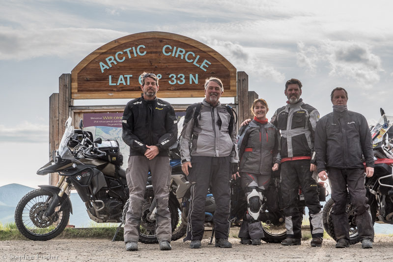
After dinner we ran into a rider (I don't remember his name, but he was riding a Super Tenere with bull horns mounted on the front faring) we met the previous evening at the Eagle Plains campground who had just returned from Tuktoyaktuk, after making a dash up there and back in one full day. After getting an even earlier start out of Eagle Plains, he got to Inuvik sufficiently early, that after setting up camp, decided to just make a run to Tuk and back before the day was out. Given we are above the Arctic Circle and in the summer, it never gets dark. As a result, you can ride for 24 hours in full daylight if you want, assuming your stamina will hold out.
Images (click to select the larger view at bottom)


All content and images are property of Stephen Fischer Photography, copyright 2019 - 2020. Last updated: 1/27/2020